Trail Walking La Valette-du-Var - La Ripelle-24-03-21 - Photo
© OpenStreetMap contributors
Length
Length
21 km
Max alt
Max alt
424 m
Uphill gradient
Uphill gradient
767 m
Km-Effort
Km-Effort  
31 km
Min alt
Min alt
90 m
Downhill gradient
Downhill gradient
765 m
Boucle
Boucle
Yes
Creation date :
2021-03-24 07:17:19.31
Updated on :
2021-03-25 16:29:28.025

(0 Reviews)

Walking
Walking
7h38
Difficulty : Difficult

Scan this QR Code to open this trail in the SityTrail application

FREE GPS app for hiking

Logo SityTrail SityTrail

IGN / Geographical institutes

Download SityTrail from the App Store Download SityTrail from Google Play

Logo SityTrail SityTrail Plus

The world is yours!

Download SityTrail from the App Store Download SityTrail from Google Play Download SityTrail on Huawei AppGallery

About

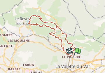
Trail Walking of 21 km to be discovered at Provence-Alpes-Côte d'Azur, Var, La Valette-du-Var. This trail is proposed by Christiancordin.

Description

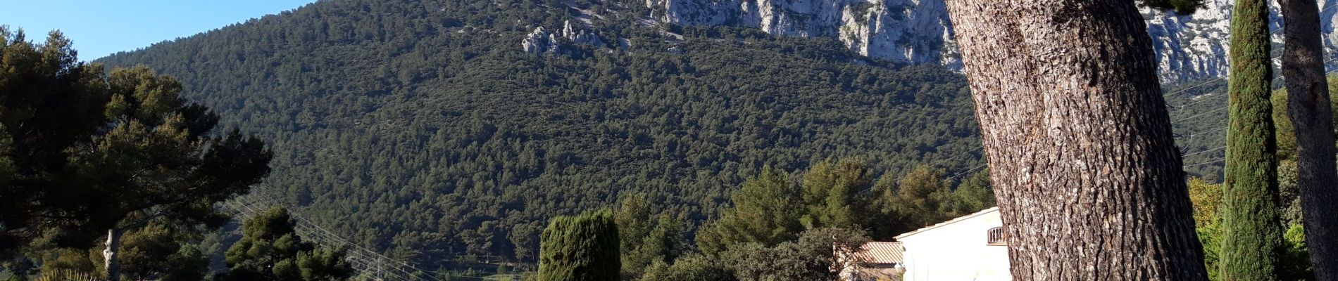
Jardin remarquable de Baudouvin-St Honorat-source de la Ripelle-Château de Tourris-le Mont Combe-La Touravelle-le camp sud-le barrage-ravin du cierge-les Olivières-la carrière de sable-le goudron-conservatoire de l'olivier.

Elevation profile

Photos

Positioning

Country:
France
Region :
Provence-Alpes-Côte d'Azur
Department/Province :
Var
Municipality :
La Valette-du-Var
Location:
Unknown
Start:(UTM)
742715 ; 4781330 (31T) N.


Close
My subscriptions